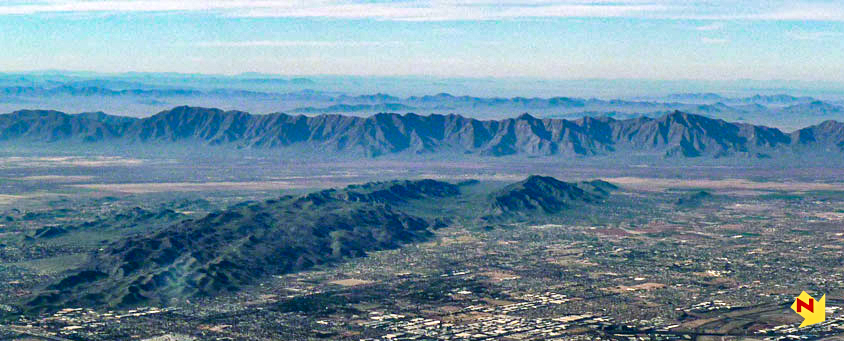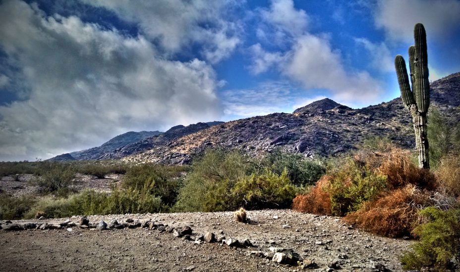
A not-so-hidden gem of the Sonoran Desert, South Mountain Park & Preserve, the largest municipal park in the United States, lies at the south end of the Valley of the Sun, in the Phoenix metropolitan area of Arizona. USA.
RECENT HISTORY
Once known as the Salt River Mountains, the area comprising the modern day park exceeds 16,000 acres. The majority of land, 14,000 acres, purchased by the City of Phoenix from the United States government in 1924 for $1.25 an acre with the caveat that it be minimally developed and preserved as a recreational use area and an example of the Sonoran Desert environment.

Between 1933 and 1940, four thousand (4000) men from the Civilian Conservation Corps worked out of two camps at South Mountain Park. During this time the men constructed over 40 miles of hiking and equestrian trails, 18 buildings, 15 ramadas, 134 fire pits, 30 water faucets, water dams, and other features within the park.

In more recent times, the South Mountain Environmental Education center was constructed just inside the main entrance. The center hosts community events and educational programs related to the desert ecology of the park.
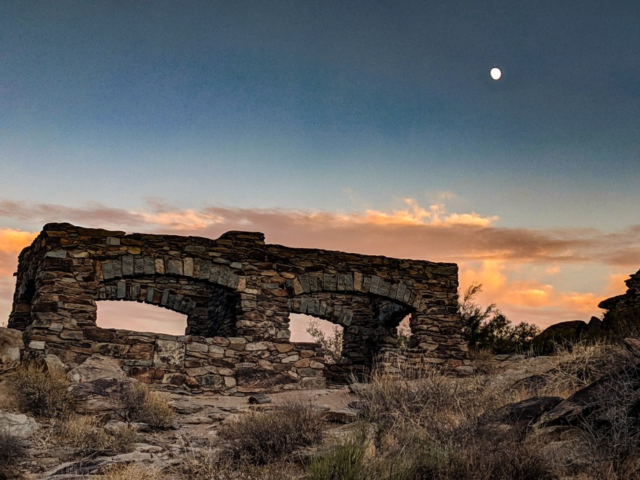
Additionally, all of the park facilities were updated and or upgraded not just at the main entrance site, but at outlying trail heads with facilities as well. See the map below, or the City of Phoenix Parks Department website for more information on the location and level of facilities spread throughout the park. During the facility upgrades, additional commercial developments were permitted just outside the main gate. An equestrian stable, as well as a small racetrack are the most notable developments. These attractions sit beside “Scorpion Gultch“, an old, seemingly abandoned stone-and-mortar structure that used to be a tourist stop for visitors to the park.
Today, the park boasts 51 miles of trails, most of which are designated, multi-use trails that accommodate hikers, mountain bikers, and equestrians. The park also hosts a number of annual events, including the annual National Trail Trek that draws thousands out to hike the sixteen mile length of the National Trail.
Click on hiker icons for more specific trail information!
Of course, South Mountain didn’t pop up out of the desert floor in the 1920’s. There is a much older history behind South Mountain, once known as the Salt River Mountains. Before the small range was known to anyone else, it was known to the local indigenous populations who long ago peppered the dark patina stained rocks with mysterious petroglyps.
THE DISTANT PAST…
In the year 1539, a Spanish scouting party led by an Italian Friar, Marcos de Niza set out to explore from the interior of Mexico, northward into what is now the Southwestern United States. During this incursion the Friar allegedly traveled through the Salt River Valley, and on his way, left an inscription on a rock, on the side of a mountain at the east end of the range.
The inscription was discovered in the early 1920’s and secured with iron bars to protect it from vandalism. Interestingly, it has also been debunked as not real or not authentic. Whether or not de Niza did travel through the valley is contested, it should be noted that only one report of a single analysis can be located to confirm this theory, and that analysis was conducted prior to modern technological advancements. Regardless, the advanced scouting party preceded a much larger incursion into the area, led by Spanish conquistador, Francisco Vasquez de Coronado in 1540. Marcos de Niza was later ridiculed and accused of having fabricated stories of locating the Seven Cities of Cibola, mythological lands filled with gold, which inspired the Coronado expedition into what is now the American Southwest.
It was in the year 1681 that Father Eusebio Kino, an Italian born, Jesuit priest, educated in Germany arrived in the region of New Spain. In 1687, the Jesuit Order appointed Father Kino missionary to serve Pimeria Alta Land of the upper Pima. Kino steadily worked his way into present-day Arizona, establishing a circuit of missions that included San Jose de Tumaccori (1691), Los Santos Ãngeles de Guevavi (1691) and San Xavier del Bac (1692).
In addition to his duties as a Catholic priest, Father Kino was also an explorer and map-maker. He traveled thousands of miles exploring the Gila River region to where the Gila connects with the Salt River. He interacted with Akimel O’odham (Pima) and Tohono O’odham (Papago) and other Native American peoples, and left the first descriptions of the remains of Hohokam civilization.
It is through these interactions that it is known both Pima and Papago peoples visited, camped and settled around the South Mountain Range, as did their ancestors, the Hohokam.
Evidence of the Hohokam can be found throughout the South Mountain range, mainly in the form of petroglyphs that were chipped into the rocks and walls of the mountains. The petroglyphs are consistent with examples from other known Hohokam sites and do not contain just mere pictographs.
Many of the petroglyphs depict charts that track the stars and sun, marking the equinoxes and solstices, exemplifying the Hohokam’s mastery of astronomy. By the way, it should be noted that the Hohokam were not only practicing advanced astronomy techniques, they are also the people responsible for the original canal system that irrigates nearly the entire Valley of the Sun to this day.


